

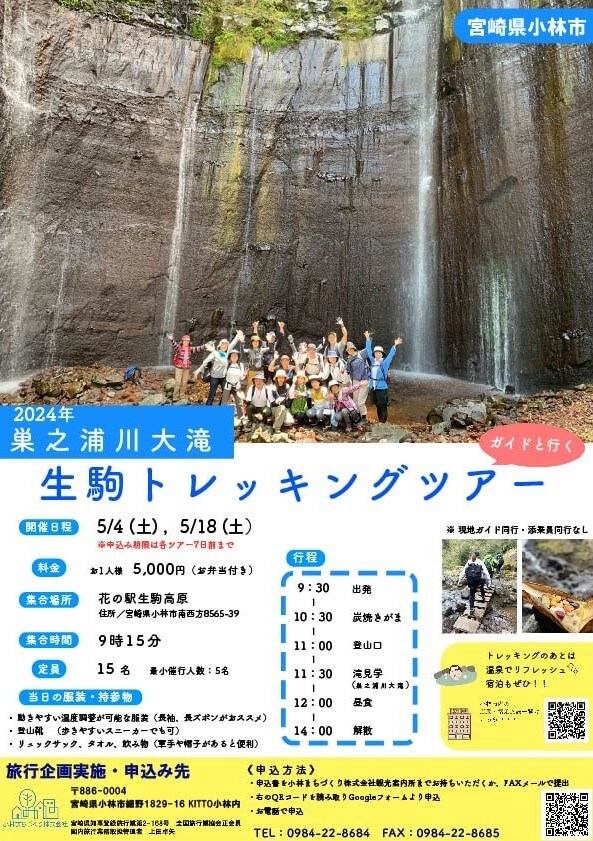
私たちは小林に住む人と訪れる人が笑顔になる取り組みを行なっています。


【本社】
〒886-0008
宮崎県小林市本町16番地
TEL 0984-27-3280
FAX 0984-27-3257
E-mail
kobamachi1@road.ocn.ne.jp
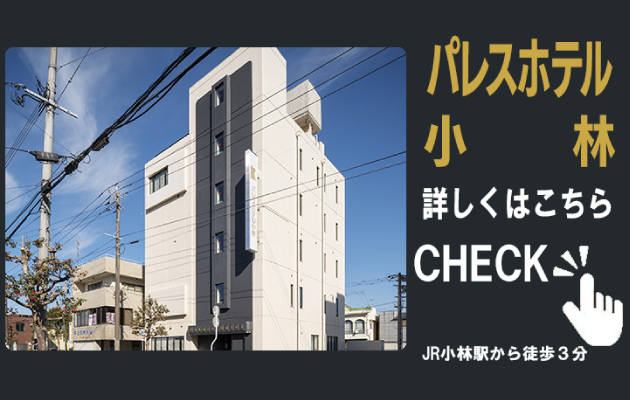
■JR小林駅から徒歩5分
■宮崎空港から高速道で車 約60分
■鹿児島空港から高速道で車 約50分
■小林ICから車で 約10分
■小林バスセンターから徒歩5分
【観光案内所】
〒886-0004
宮崎県小林市細野1829-16 KITTO小林
TEL 0984-22-8684
FAX 0984-22-8685
■JR小林駅の北側正面